Why Is It So Cold in the D? [MAPS]
Arctic system brings colder-than-normal weather to SE Michigan.

It’s not your imagination. The weather in Metro Detroit is colder than usual for mid-November.
The National Weather Service says the region’s average high temperature for Nov. 13 is 50 degrees Fahrenheit. Forecast highs through Nov. 17 are well below that. Meteorologist Bryan Tilley says an arctic weather system is bringing colder air to the Great Lakes.
“Really it’s just tied to the large-scale upper air pattern across North America,” Tilley says. “it’s been a very stable orientation, and keeping cold air resupplied across the Great Lakes.”
Compare that to Election Day (Nov. 6) when the high reached 58 degrees, which was five degrees above normal. Tilley says things should start to warm up a bit by the end of the month.
“It looks like we’re going to get a little bit of a trend towards normal, and maybe slightly above normal as we go through the end of November and the first part of December,” Tilley says.
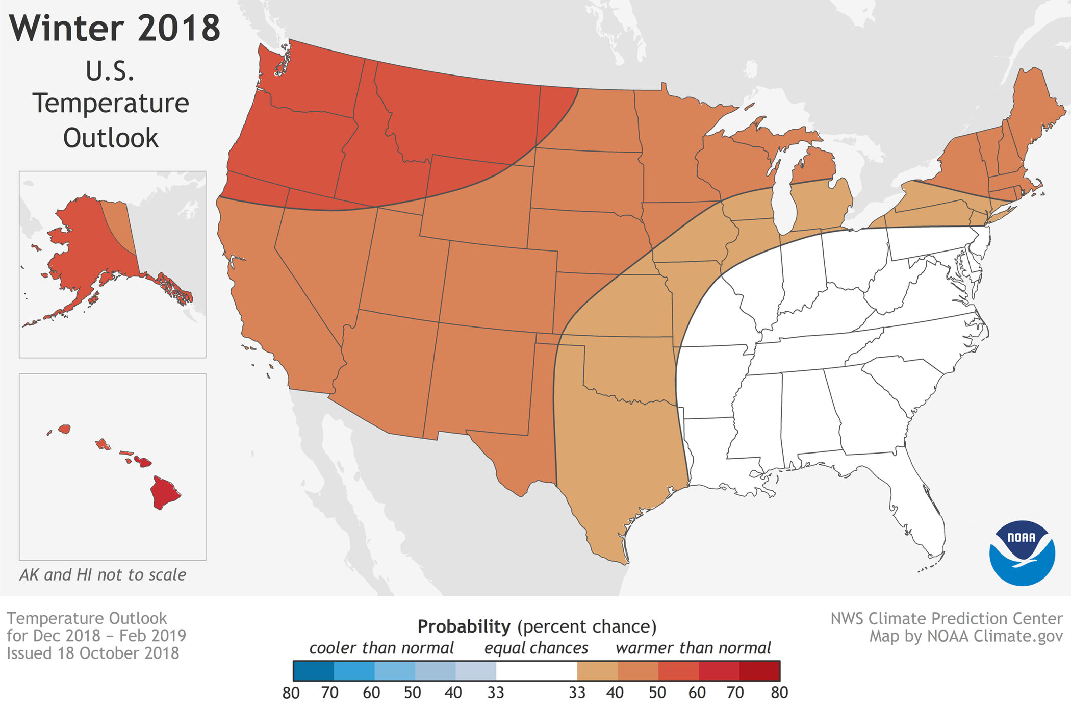
An El Nino pattern–warmer waters in the Pacific Ocean–could also affect temperatures through the rest of the winter. Tilley says a strong El Nino would likely produce a milder winter for the Great Lakes. As for the snow that fell at the end of last week, Tilley says that was not uncommon. The average date of the first snowfall in Metro Detroit is October 30.
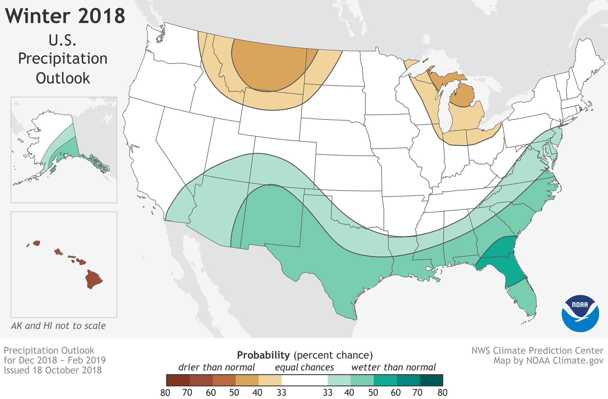
The National Oceanic and Atmospheric Administration is forecasting a warmer, drier than normal winter for Michigan. Click on the audio player to hear Pat Batcheller’s conversation with Bryan Tilley.


